Santa Rosa strengthens the security of its territory through the official registration of its georeferenced boundaries
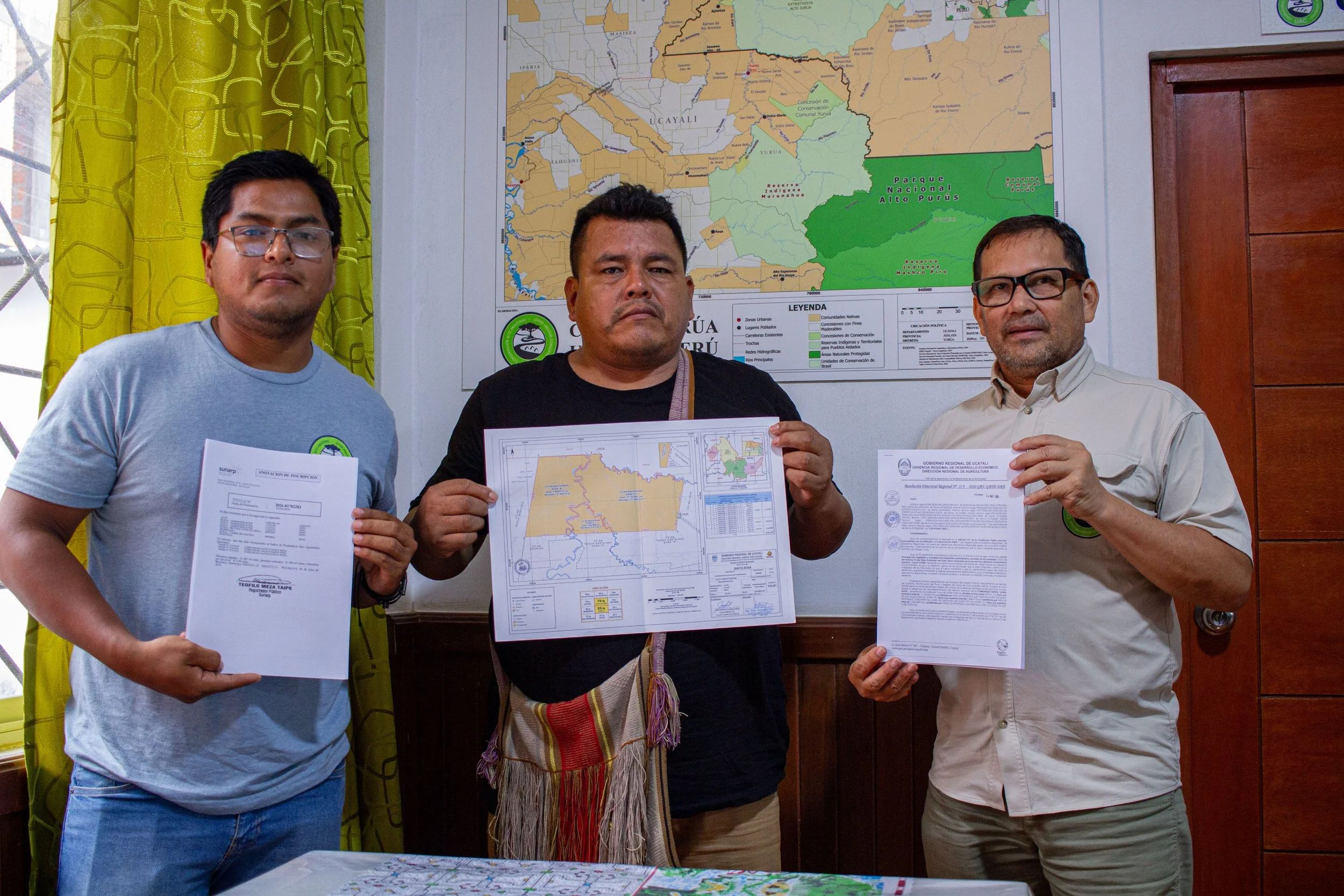
Fernando Aroni Lozano, head of the Santa Rosa Native Community, received the official registration of the community’s georeferenced boundaries alongside the UAC technical team.
The Amahuaca community received the official registration of its communal boundaries from Peru’s National Superintendency of Public Registries (SUNARP), becoming the first of the three communities participating in the current phase of the georeferencing project to complete this process.
Yurúa, Ucayali. Santa Rosa, the only Amahuaca community in the border district of Yurúa, received the official registration of its communal boundaries from Peru’s National Superintendency of Public Registries (SUNARP) on Tuesday, July 14, marking the completion of a key stage in the georeferencing process. This milestone officially updates the community’s territorial boundaries and provides greater legal certainty for the management and protection of its territory.
With this achievement, Santa Rosa becomes the first of the three communities participating in the current phase of the project to complete the process. The initiative also includes the Native Communities of Nueva Victoria (Ashéninka) and El Dorado (Yaminahua).
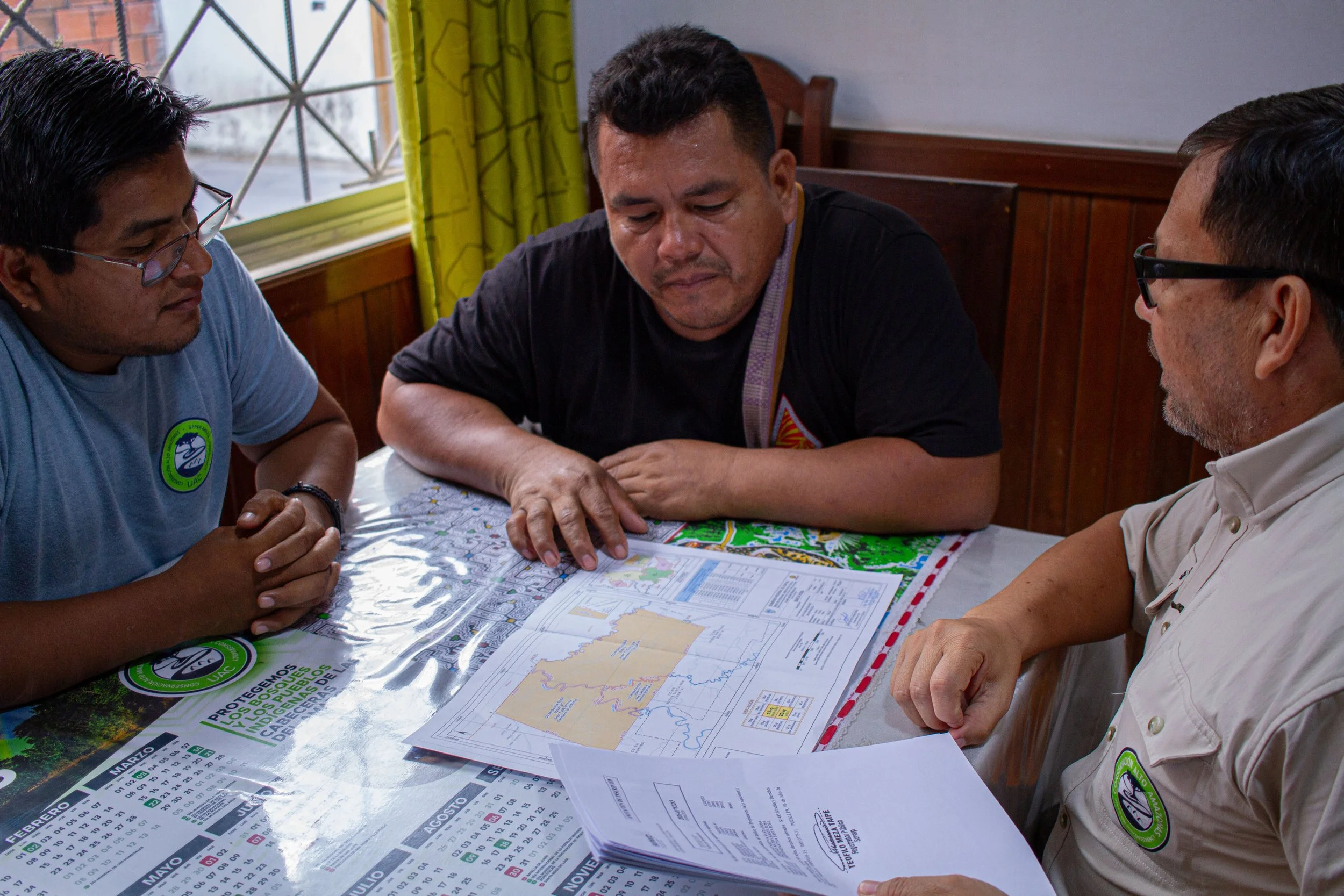
The official registration marked the completion of a key stage in the georeferencing process of the community’s territory.
For Fernando Aroni Lozano, head of the community, the official registration represents a practical tool for strengthening community control over its territory.
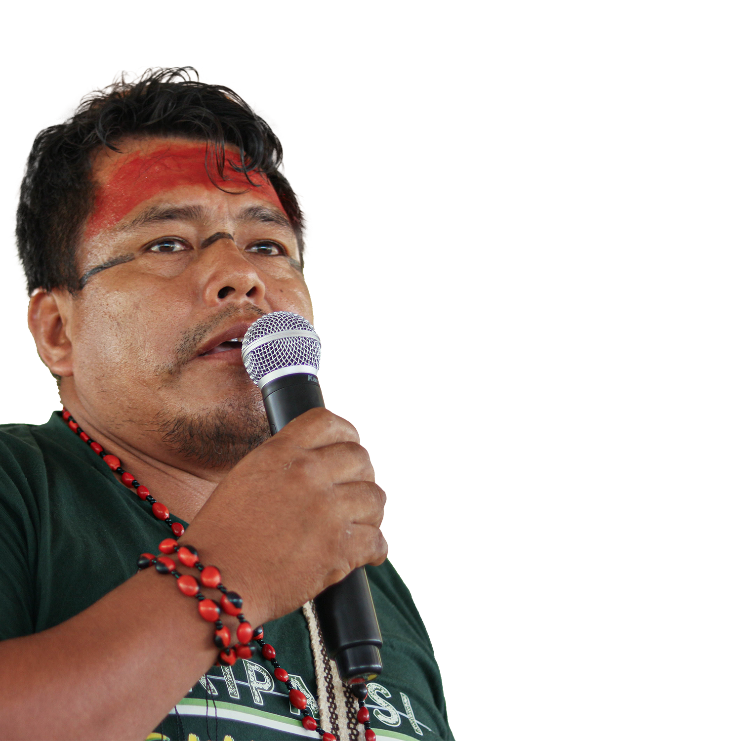
“Before, we lived with conflicts because we could not clearly prove where our territory was located. With this new georeferenced land title, we will be able to monitor our territory more effectively and contribute to its conservation.”
Santa Rosa borders Brazil and faces incursions for the unauthorized extraction of natural resources, mainly through hunting, fishing, and logging. In this context, having officially updated boundaries strengthens community patrols and improves the community’s ability to respond to these threats.
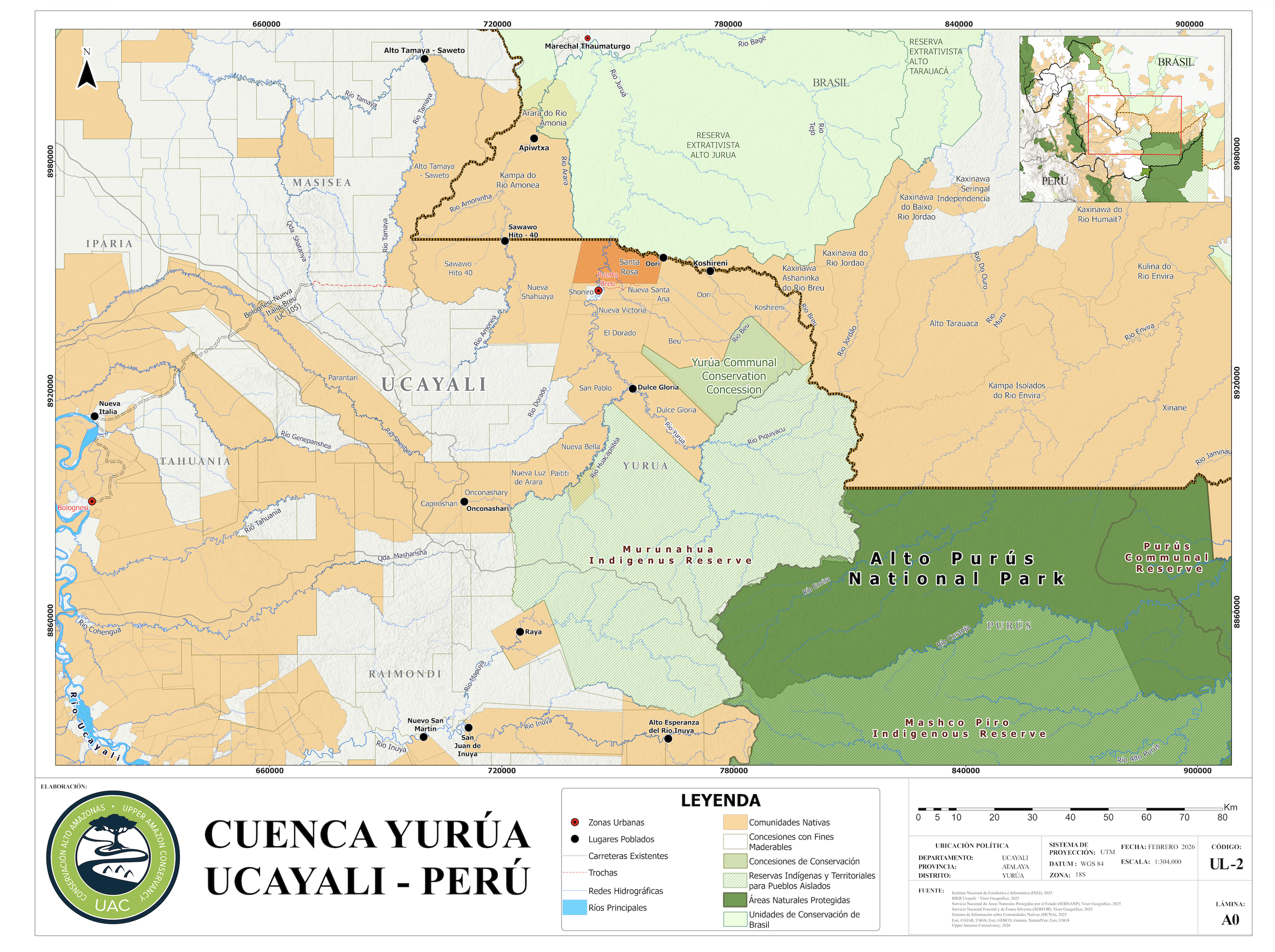
Map of the Yurúa River basin showing the location of the Santa Rosa Native Community on the Peru–Brazil border.
The community covers 20,087.19 hectares, divided into three georeferenced sectors, in a border area between Peru and Brazil.
From natural landmarks to precise boundaries
The Native Communities of Yurúa were titled more than three decades ago, when their boundaries were defined using natural landmarks such as rivers, streams, and large trees. Over time, these references no longer provided the precision needed for territorial monitoring and for addressing conflicts related to land use.
The georeferencing process updated this information using sub-meter GPS equipment and the installation of permanent boundary markers that define the community’s territory with greater accuracy.
“Communities now know exactly where their boundaries are. In the past, there was no certainty about whether someone entering the area was inside or outside the community’s territory. Today, they have the tools to exercise better territorial control and organize their monitoring efforts more effectively. You cannot protect what you do not know,” said William Villacorta, Director of the Yurúa Program at Upper Amazon Conservancy (UAC).
Villacorta emphasized that georeferencing does not change the size of the community’s territory; rather, it technically updates its boundaries and officially records that information through the public registry.
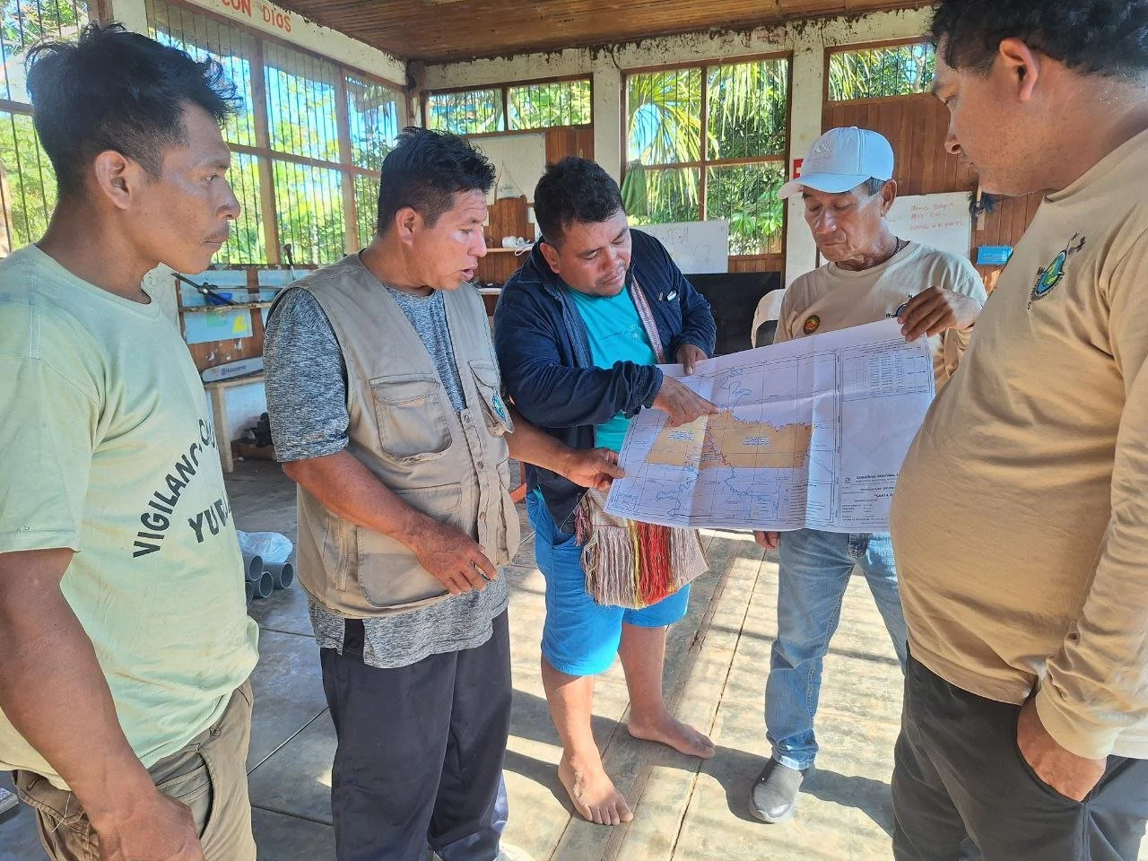
In July 2025, members of the Santa Rosa Native Community reviewed the delimitation of their territory with the technical team of the Regional Directorate of Agriculture of Ucayali (DRAU) during the georeferencing process.
A tool for stronger territorial governance
The official registration is one of the most important milestones in the georeferencing process, as it formalizes the updated communal boundaries and provides greater legal certainty for territorial governance.
In a border region such as Yurúa, where communities face incursions for the unauthorized extraction of natural resources, having accurate territorial information strengthens community patrols, improves monitoring, and contributes to the conservation of the forests on which local livelihoods depend.
The process was carried out by the Regional Directorate of Agriculture of Ucayali (DRAU), through its Directorate of Physical and Legal Land Regularization, with the technical, legal, and logistical support of Upper Amazon Conservancy (UAC). It was also supported by the Society for Threatened Peoples (Germany).
For Santa Rosa, this milestone provides a stronger foundation for exercising control over its communal boundaries, preventing conflicts, and continuing the sustainable management of the natural resources on which the community depends.