Since 2019, investigative reports, patrols, and technical assessments have warned of forest loss and the occupation of forest concessions in this Amazonian watershed near Alto Purús National Park. As the agricultural frontier advances, Indigenous organizations are working to protect the headwaters of the Sepahua River.
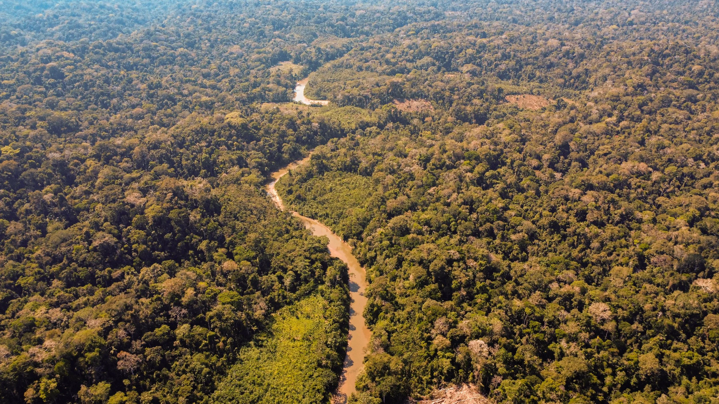
An aerial view of the Sepahua River and its surrounding forest cover in Ucayali. Photo: Jorge Miranda/UAC.
“We are Indigenous peoples, and we want our entire territory to be conserved,” says Marisela Vargas, president of the Association of Artisan Workers of the District of Sepahua (ARDISEP), an organization comprising women from the Nahua, Asháninka, Yine, Matsigenka, Amahuaca, and Yaminahua peoples. Vargas is also a member of the organization's monitoring committee and took part in an expedition to the headwaters of the Sepahua River in Ucayali in September 2026.
Warnings about deforestation and the agricultural occupation of forest concessions in Alto Sepahua date back to at least 2019. Despite the documented evidence, concerns about protecting the area's forests persist.
For Vargas, conserving the forest means protecting much more than trees. It also means safeguarding water sources, materials used in traditional handicrafts, and the ecosystems on which Indigenous populations depend.
The Indigenous leader recalls that she has spent approximately three years seeking support from local and regional authorities to address the situation. However, she says forest loss continues. Conserving this area is also important for the protection of Indigenous Peoples in Isolation.
“It is alarming to see how our forest is being deforested,” she says in her testimony.
Her organization participates in patrols alongside Peru's National Service of Natural Areas Protected by the State (SERNANP) and Upper Amazon Conservancy (UAC). During one of these patrols, Vargas identified newly disturbed areas and signs of human settlement in sectors near the headwaters.
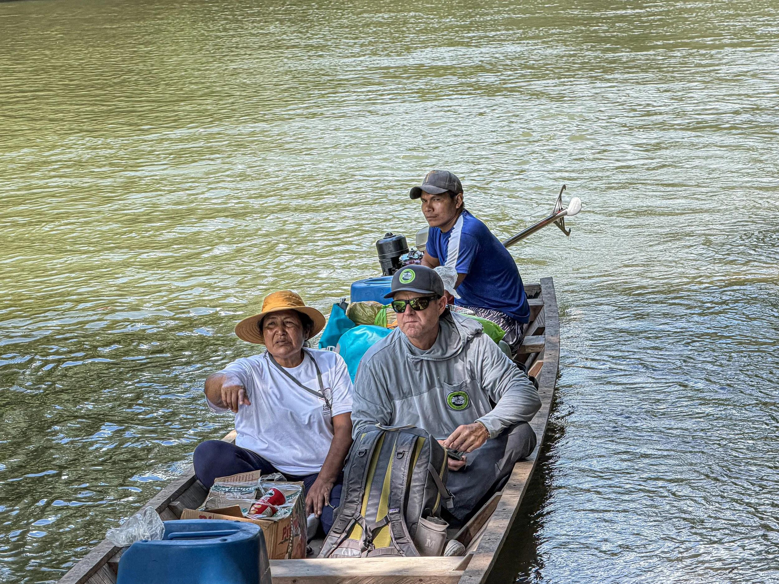
Marisela Vargas during a patrol along the Sepahua River in September 2026. Photo: UAC.
Deforestation and the Occupation of Forest Concessions
In December 2019, an investigation published by Mongabay Latam and written by Chris Fagan, UAC's executive director, warned of expanding agricultural activities and reported allegations of possible coca cultivation in the vicinity of Alto Purús National Park.
The warnings continued. In December 2022, a special patrol conducted by SERNANP, with the participation of community monitors and UAC, documented threats and evidence of deforestation in the watershed.
In August 2024, a UAC report documented land occupations in the Unión Creek area. Subsequently, in February 2025, another report recorded agricultural plots within forest concessions and presented comparative satellite imagery from 2017 and 2024 in the Shimbillo area.
According to a geospatial analysis conducted by UAC's technical team, 1,019.21 hectares of forest were lost during 2025 within a 311,718.71-hectare study area extending along both sides of the Sepahua River. These findings highlight the pressure on forest cover in this Amazonian watershed.
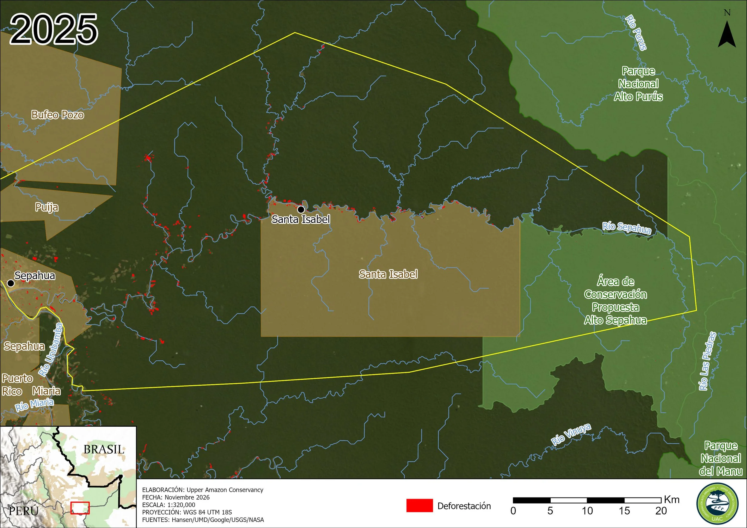
Distribution of deforestation recorded during 2025 within the study area on both sides of the Sepahua River. Source: UAC Technical Team, using data from Geobosques–MINAM.
During the September 2026 expedition, the team interviewed a farmer who said he had been living in the area for five years.
According to his account, he acquired land for agricultural activities and claimed that representatives of a forest concession had allowed him to farm there on the condition that he did not cut down commercially valuable trees marked with identification tags.
His account raises a contradiction that requires clarification: forest concessions are intended for the sustainable use of forest resources, yet agricultural land use was observed in the areas visited.
The alleged authorization described by the farmer has not been corroborated with the concession holders or the relevant authorities. Neither the legal status of the plots nor the full extent of the occupations has been confirmed.
During the expedition, Chris Fagan questioned the lack of oversight in these areas and warned of the consequences of allowing agricultural expansion to continue toward the headwaters.
The situation raises questions that require official answers: Who is responsible for overseeing forest concessions? What measures have been taken in response to the documented occupations? And what responsibilities lie with concession holders and forest authorities?
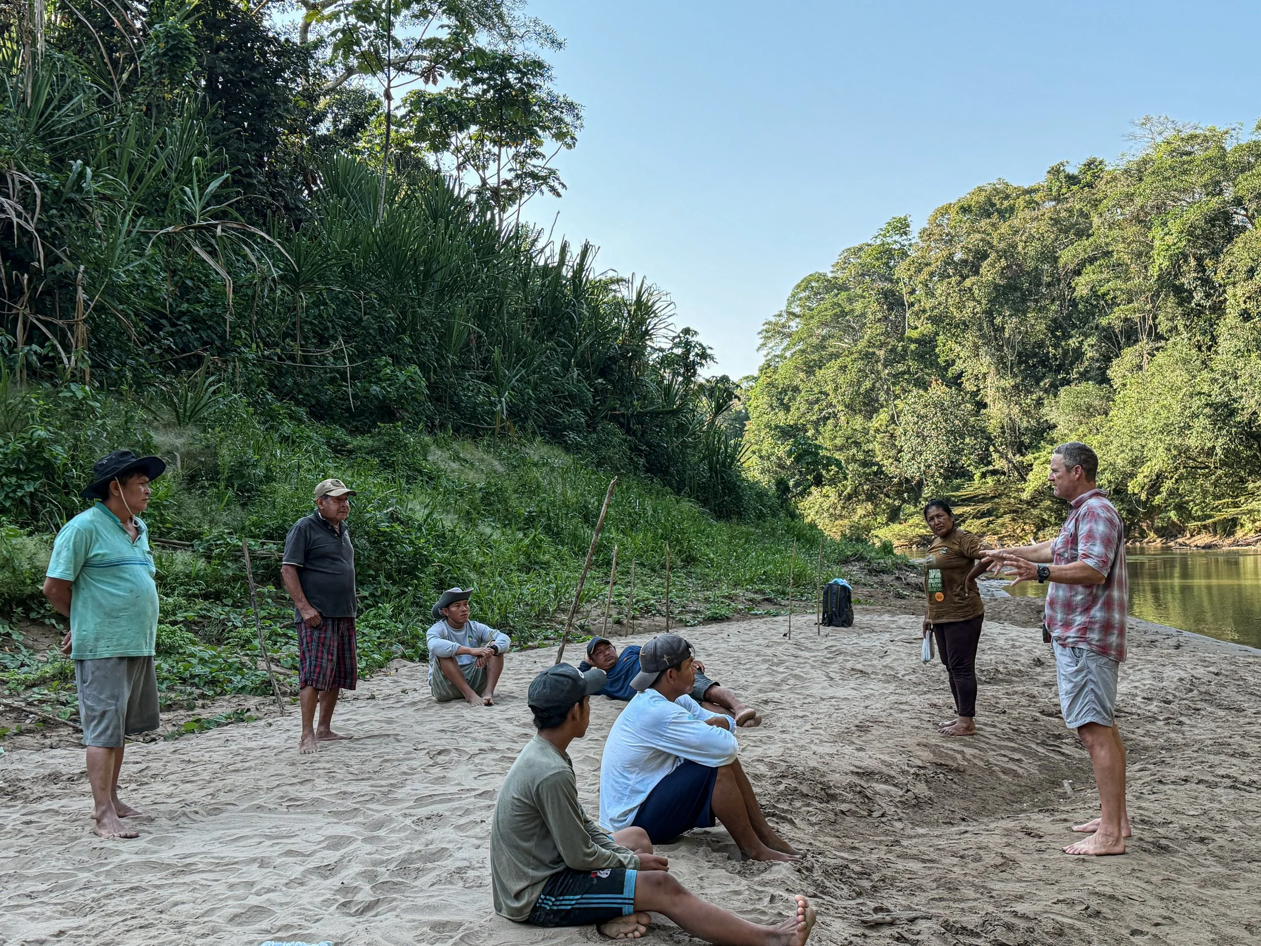
Chris Fagan, executive director of UAC, speaking with participants during the September 2026 expedition along the Sepahua River. Photo: UAC.
Protecting the Headwaters Before It Is Too Late
As warnings persist, Indigenous organizations and community monitoring committees continue their surveillance activities and seek alternatives to conserve forests that remain in good condition.
In February 2025, UAC documented SMART Mobile training sessions for members of community monitoring committees. The tool is used to record information during patrols.
In September 2026, the expedition also covered areas associated with a proposal to conserve the Sepahua River headwaters. The proposed protection category, its geographic extent, and the initiative's administrative status still require confirmation.
Seven years after the first warnings, Indigenous organizations and UAC are advancing initiatives to protect the Sepahua headwaters. However, community-based monitoring and technical evidence must be complemented by forest law enforcement and territorial protection measures.
The question remains: What concrete actions will the relevant authorities take to address deforestation and the documented land occupations in this Amazonian watershed?